While planning our holiday to Japan to watch the Rugby World Cup I obviously also had to ensure we had our hiking fix along the way. Our first week in Japan involved hiring a car and seeing as much of Kyushu as possible. This gave us the flexibility to get to those slightly more uncharted territories and so amongst other adventures, Mount Aso came onto the itinerary.
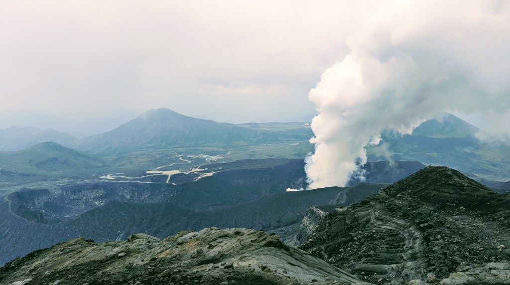
Located in Japan’s Kumamoto prefecture, Mount Aso is an active volcano, which most recently erupted in 2016. At the time of our visit (October 2019) and of writing this blog (December 2019) there is a 1-kilometre no-entry zone due to increased volcanic activity and consequently toxic gases are being emitted; thus, it is not possible to see the crater. Don’t let this put you off though as this area is still so intriguing and the climb to the closest peak, Taka-dake and Naka-dake are well worth the effort.
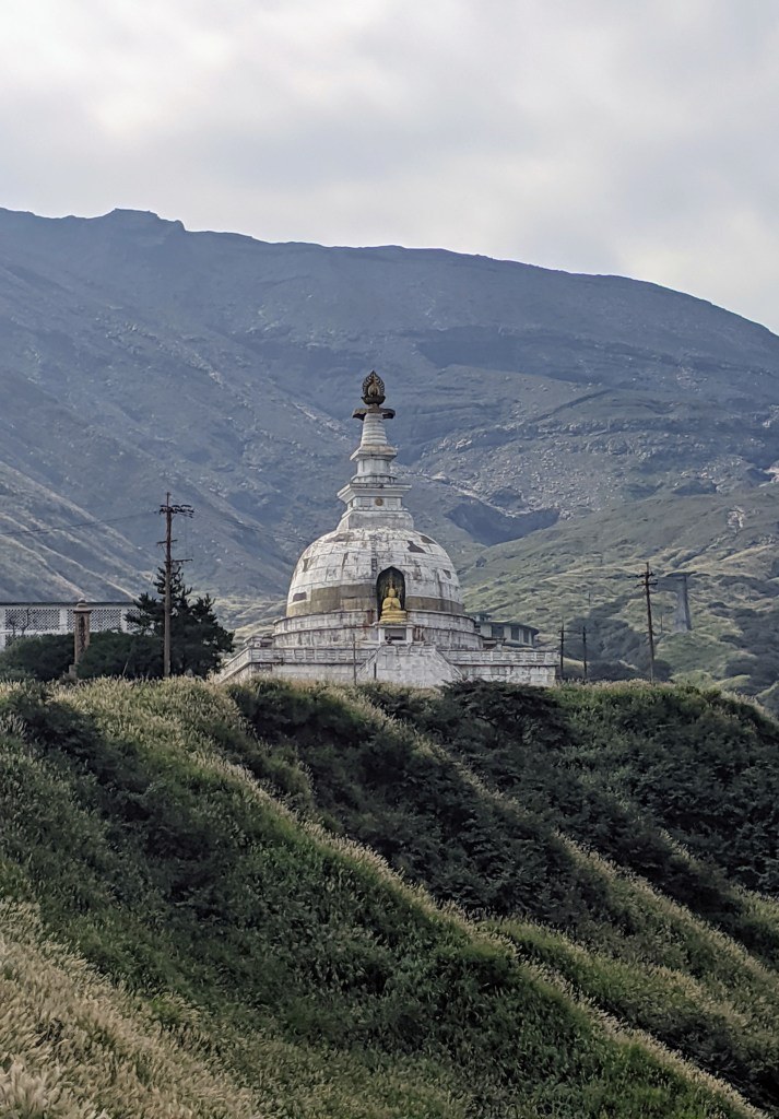
To get to the starting point of our climb, we drove to Sensuikyo Station. The drive up to the starting point takes you along some beautiful hair-pin roads and you feel that you have landed on the set of Jurassic Park all of a sudden! You will pass a damaged Buddhist Temple as you approach the empty car park. The ropeway is no longer in use following the previous eruption in 2016 and it makes the area look apocalyptic.
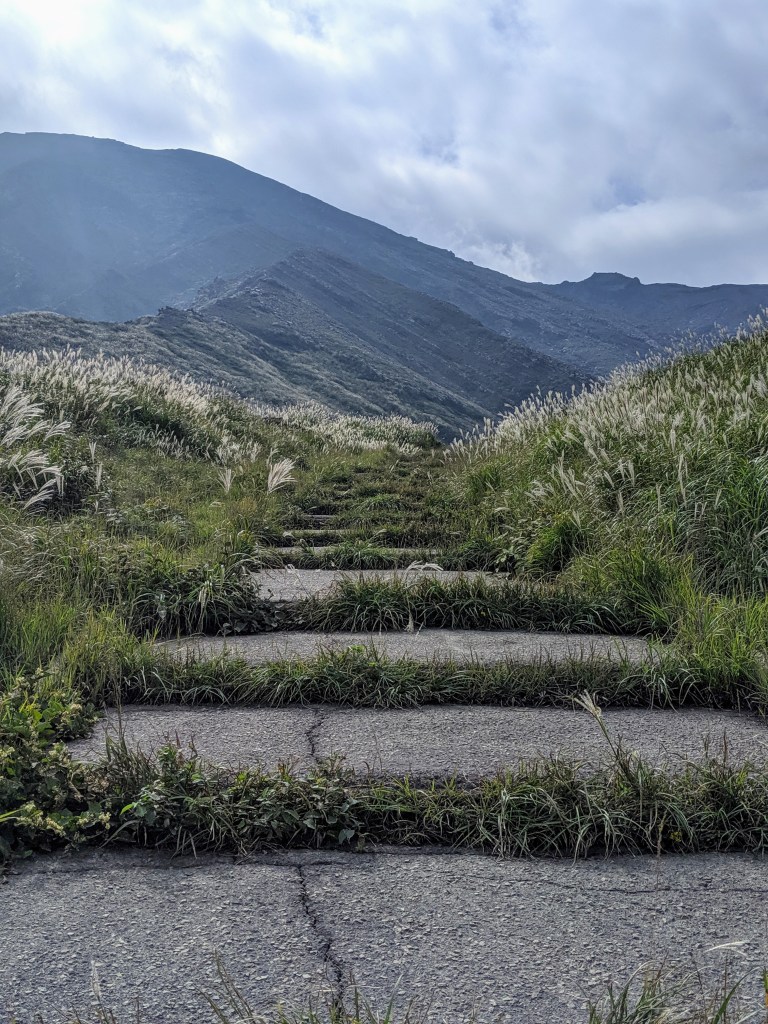
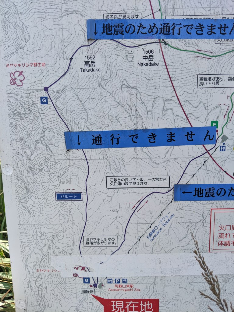
From the carpark we tried to find some information and maps…we found some which were not very easy to decipher. There appeared to be some steps leading to a path running parallel to the ropeway, so we started with this.
30 seconds after commencing we saw a police car approaching us and then two officers running towards us. My immediate thought was that they were here to tell us off after perhaps seeing my husband getting changed in the abandoned car park. After some back and forth on google translate, it turned out these friendly cops were here to advise us about the toxic gases and that we must turn around immediately if we smell gases or feel woozy. Legends!
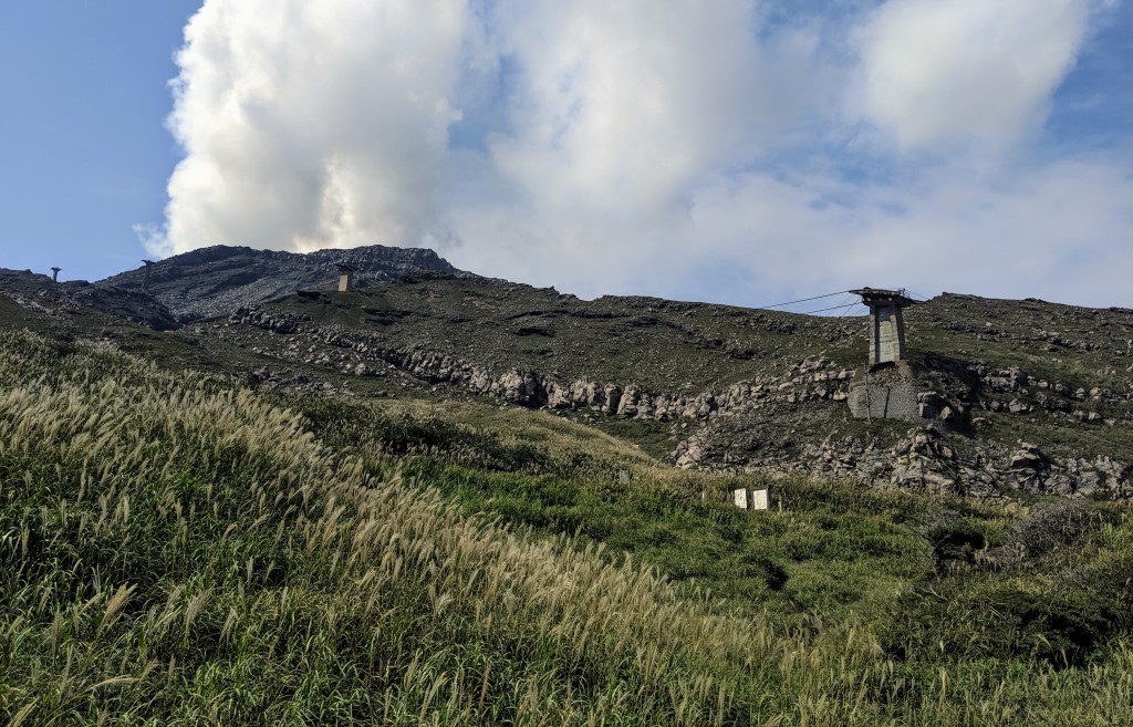
After taking photos and saying farewell to our new friends we started to climb again with Nake-dake in our sights. 20 minutes later we were at the no-entry barrier!! Not quite the hike I had in mind! Right, back to the car park. While heading back towards the car park I saw some locals descending a path from Take-dake (when looking up the mountains with the ropeway on your right, the path is on your left – across the river). This looked more promising and indeed I’m so glad we persevered.
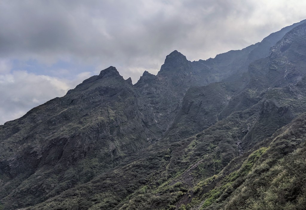
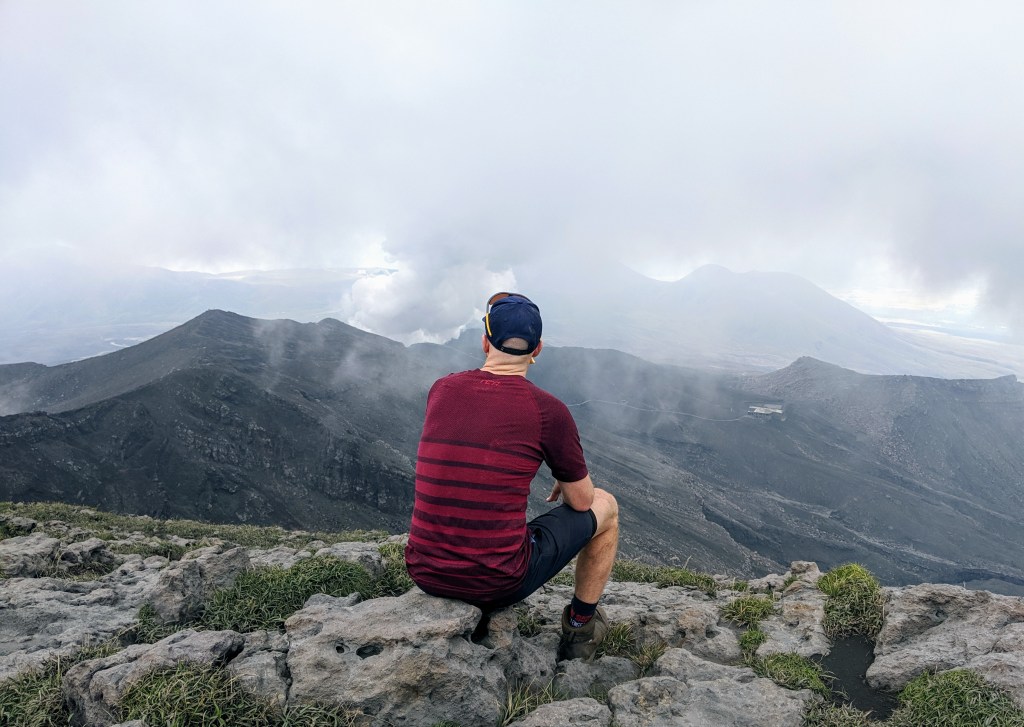
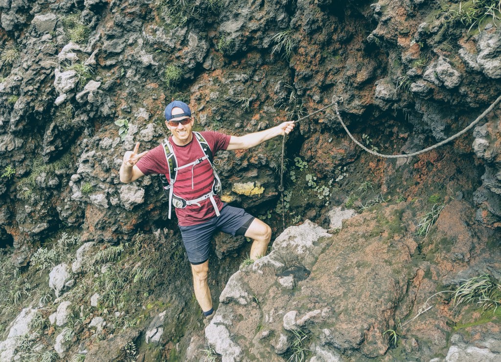
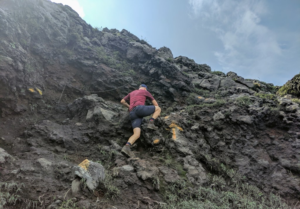
After battling through some overgrown bushes for 10 minutes, the path soon opens up on to volcanic boulders and ash covered rocks. The path is steep, and I personally like to get very hands-on to avoid my knees taking all the strain. If you are like me, be prepared to get very dirty from all the volcanic dust! It took us around 2 hours to climb and scramble up to the summit of Take-Dake. Whilst ascending, the clouds unfortunately rolled in so we didn’t have a constant view of the climb we had just completed.
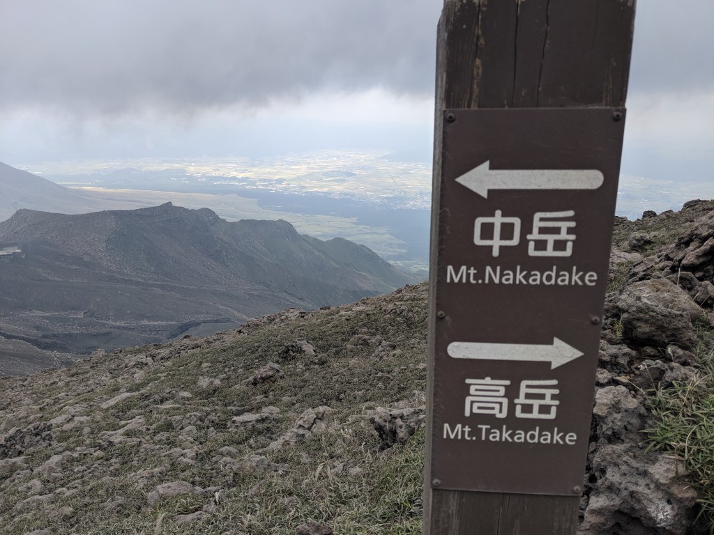
Once on the top, we walked along the ridge line for around 30 minutes to reach the Mount Nake-Dake summit, from where you get a nice view of the edge of the active crater. From here we heard a tannoy announcement advising “eruption imminent” …at this point, after taking a couple of scenic photos, we turned around and headed back to the safety of the car, which took around 1hr to get back along and down.
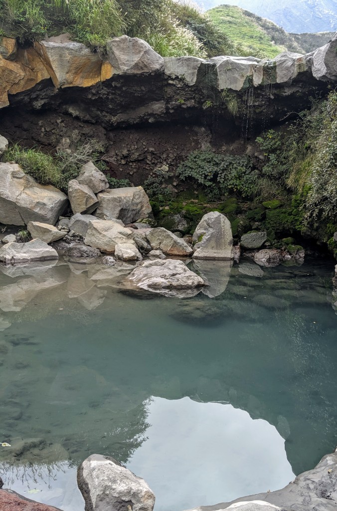
As we were covered in dust and sweat by the time we reached the car park we found a perfect little river pool to wash off in!
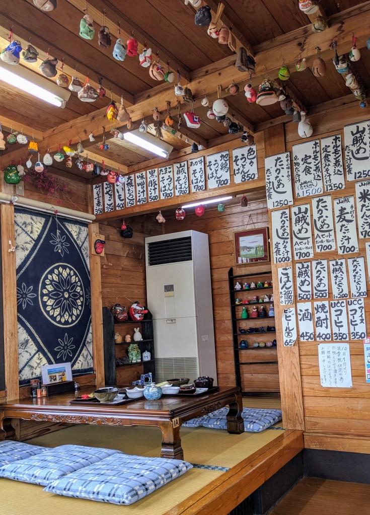
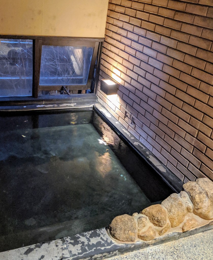
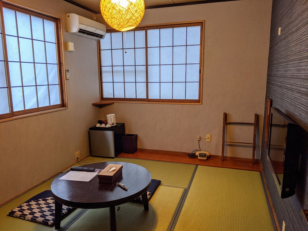
Totally refreshed we rounded this day off by finding a nice spot to eat some incredible Japanese food, followed by an “Onsen” bath.

Exceptional post but I was wondering if you could write a litte more on this subject?
I’d be very thankful if you could elaborate a little bit further.
Bless you!
LikeLike
Thanks so much, is there anything in particular that you want me to answer?
LikeLike