Whilst taking some holiday in Wales this Autumn, it only seemed right to also fit in another climb of Snowdon while the weather didn’t look too bad, i.e., it wasn’t forecast to rain all day and visibility was due to be “moderate”.
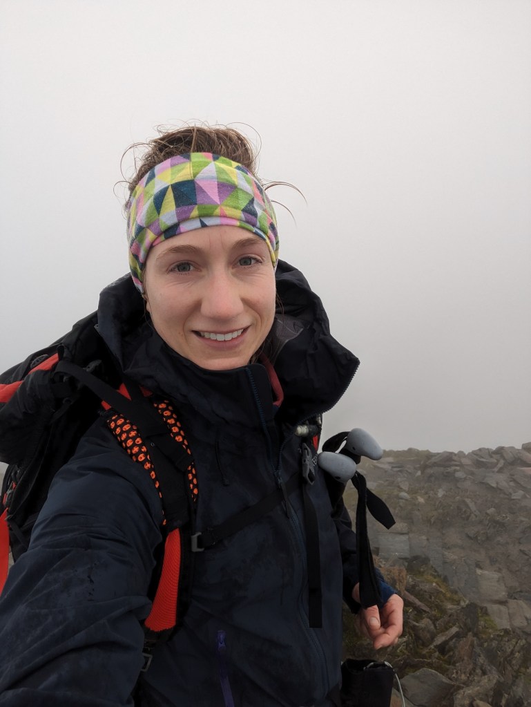
But as is often the case, the weather report wasn’t quite accurate…let’s just say it may have actually been rather drizzly with terrible visibility at the top!!
On the plus side, when the visibility is poor you don’t have to see how much further there is to go up, or no false summits to get your hopes up!
There are a number of popular routes to take to the summit of Snowdon. After speaking to various friends who have completed each trail, we decided to park at Pen Y Pass car park (March to October requires advance booking) and took the Miners’ Track up and the Pyg Track down.
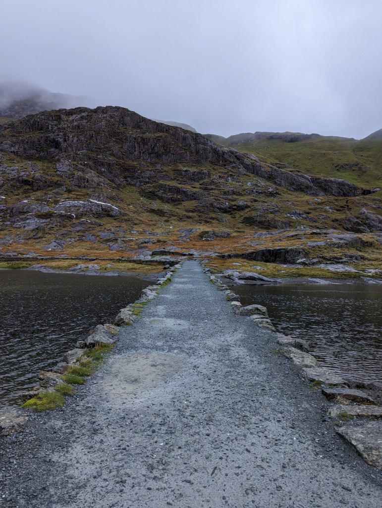
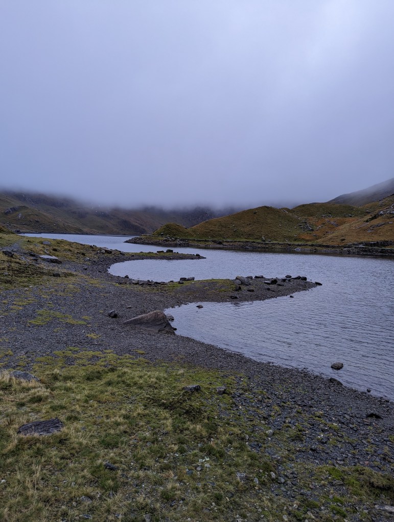
For the first few miles of the Miners’ Track, the route is very easy under foot, gradually inclining along a shingled trail around the base of Craig Llyn Teyryn. After passing a disused copper mine on your right, the rocky path starts to take a slightly steeper climb as you leave Llyn Llydaw reservoir behind you. You’ll soon realise this was a relaxed ascent when you get to the other side of Glaslyn reservoir, at which point you’ll take the steeper climb which takes you up to join Pyg Track.
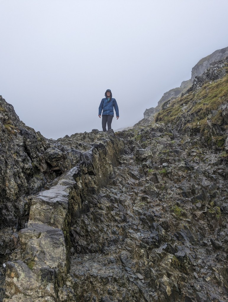
In parts the path is difficult to follow, but keep following your nose and heading North-West and you’ll find the track. There is a large rock at the point the paths cross. Joining the Pyg Track, again the path is well maintained and easy to follow, taking you West until you meet the Llanberis Track (again you’ll pass a very tall rock to mark the paths crossing).
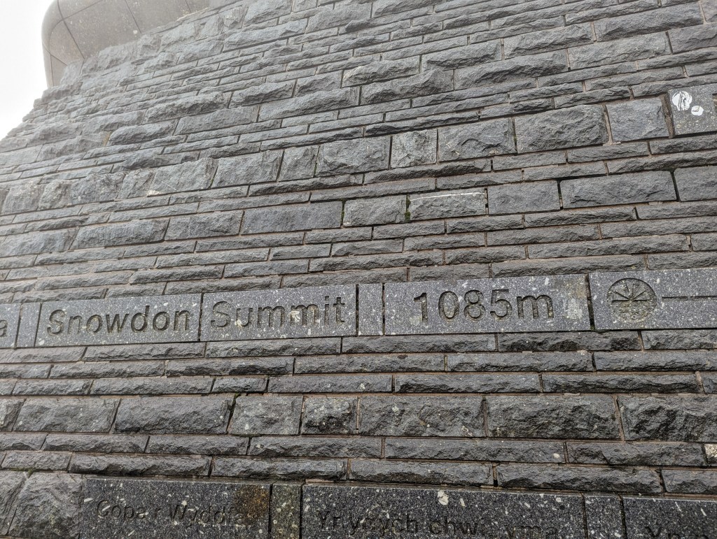
Once on the Llanberis Track, you’ll spy the train railway track. Fortunately, we climbed Snowdon at the end of October, a day after the cafe and train closed for the winter, so we didn’t have to see smug, dry people arriving at the summit! Following your nose to the top of the mountain, even in the thick cloud, is easy to navigate, with steps and shingle track all the way to the trig point. We benefited from being early to the top so it wasn’t busy and I’d highly recommend it, even when you can’t enjoy the (apparently amazing) views.
After a short lunch stop, hiding from the rain as best as possible, we turned around and followed our steps back down Pyg Track, but rather than turning right to take the Miners’ Track, we stayed higher along the Pyg Track.
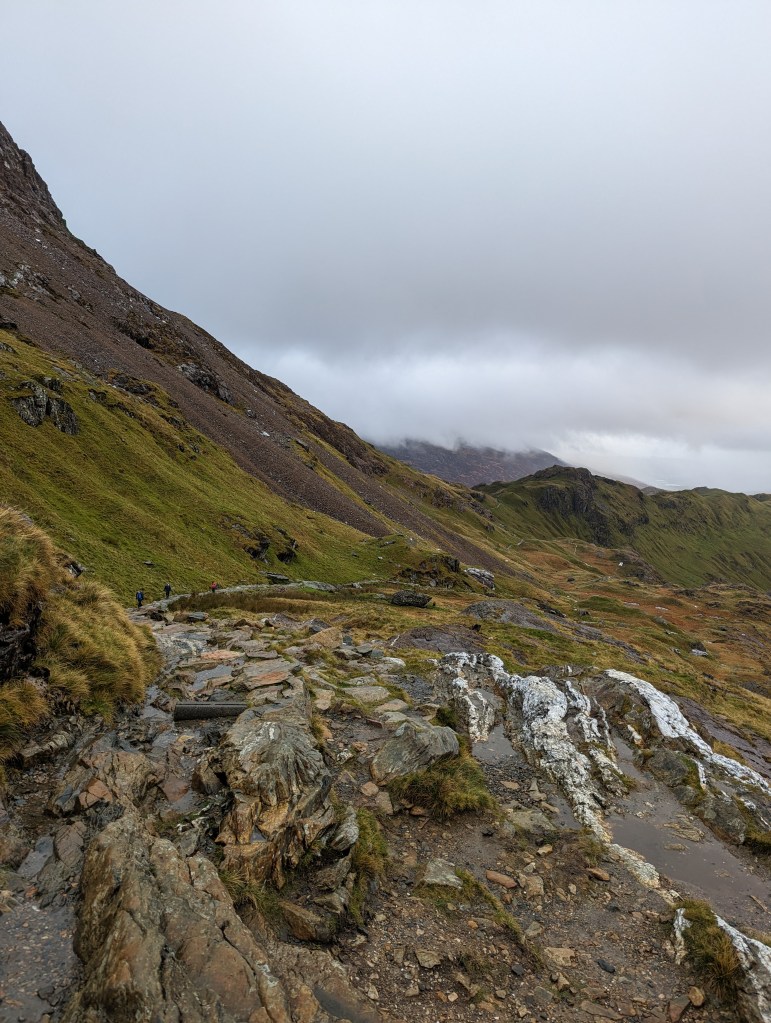
Compared to Miners’ Track, Pyg Track stays higher for longer and as the cloud cover had started to lift as we started to descend, we were able to enjoy the stunning views on offer all the way back to the car park.

The friends I walked with are equally competent in the mountains and have a high base level of fitness; I measured this loop as 8 miles and we took 4 hours to complete it, which included numerous photo stops, a quick lunch break and plenty of layer changes (waterproof coat on / waterproof coat off!)
