27th May 2019
Many of us think of a funny accent, sheep, stone walls and daffodils when we think of Wales…but we should not be too quick to dismiss this beautiful country, which is also home to some incredible mountains and stunning scenery!
When I was around 8 my parents took my brother and I to a caravan festival in Aberystwyth. With memories of a very long journey still etched in my brain I had neglected to put western Wales on my bucket list until this year. This time my husband and I packed up the car, squeezed the dog into the boot, and road-tripped over to Wales on our way back from a wedding in Somerset. As you can already guess, the weather forecast was rain!

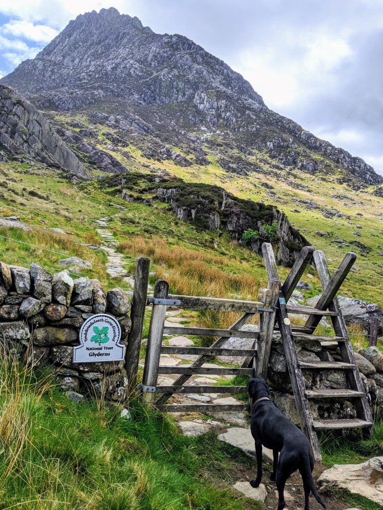
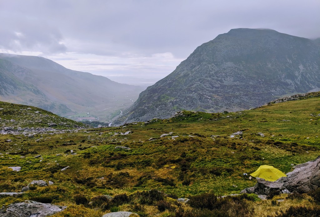
Trying to make the most of the very sketchy weather forecast, we arrived in Snowdonia in the early afternoon, parked our car at the foot of Tryfan and headed straight up, with a plan of pitching our tent somewhere before the rain arrived later in the day.
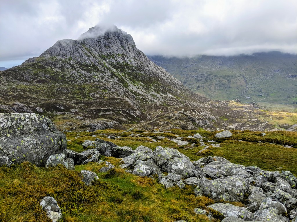
Tryfan lies in the Ogwen Valley of Snowdonia and the summit sits at 917.51 metres. There are a number of routes up and you can park along the A5 road in the layby to the North side of the mountain for free.
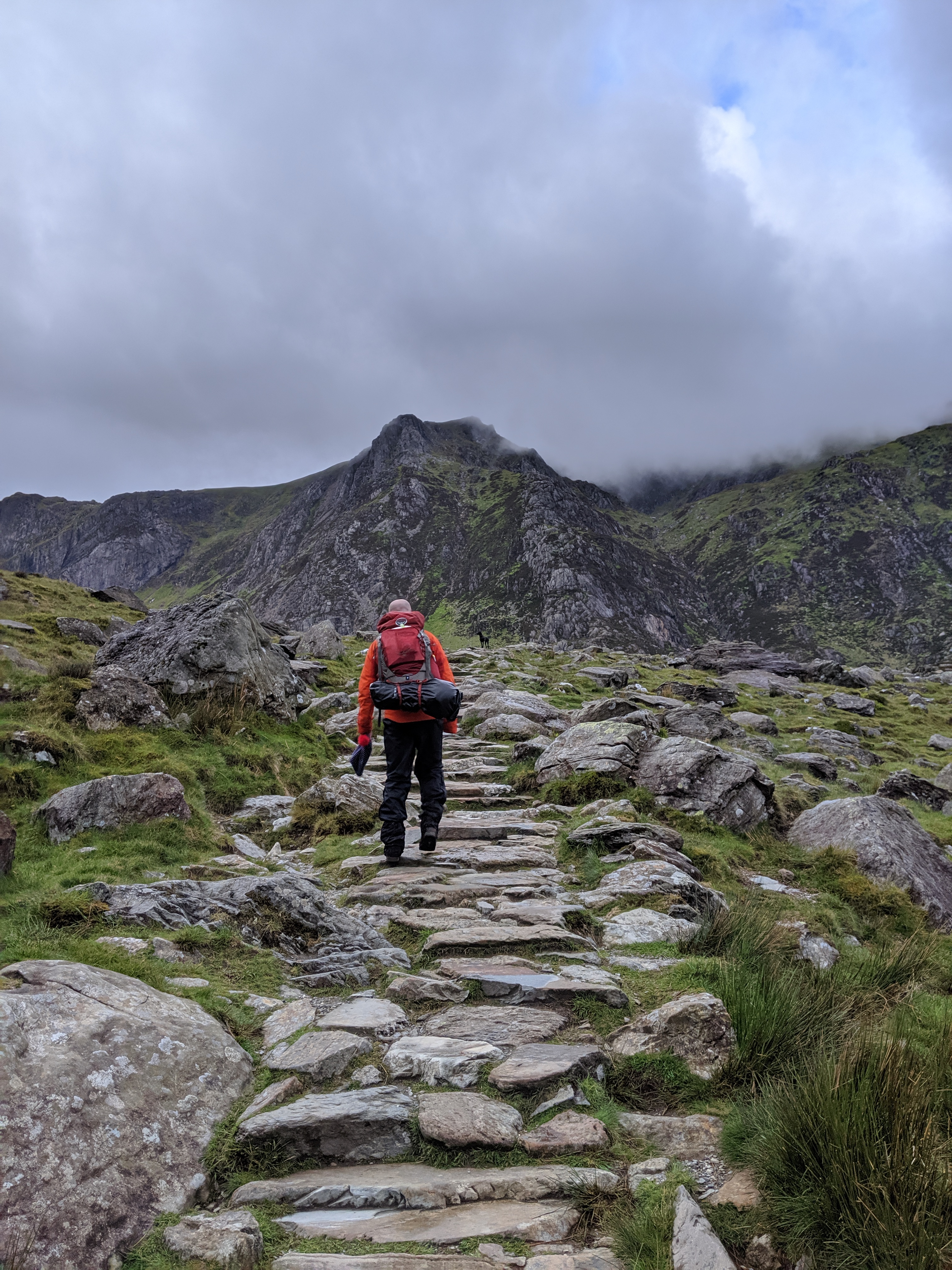
We took the “easiest” route to the summit as we were carrying a little bit of weight, with our camping kit and food.
Weaving up along the East face, there is a relatively well marked (and paved in parts) path. You quickly gain height and are rewarded with a lovely view back into the valley.
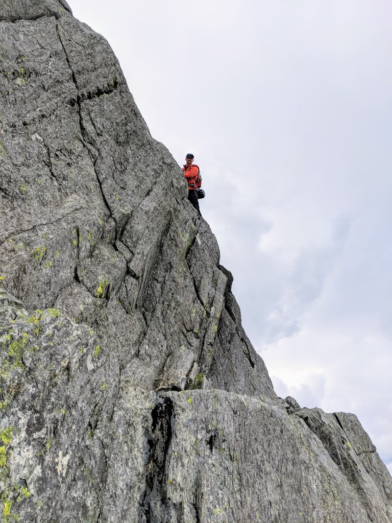
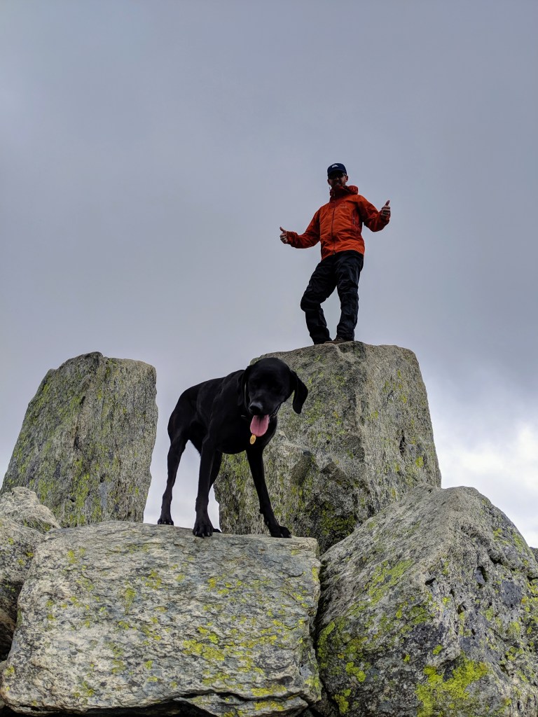
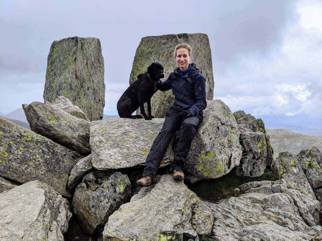
As you get to the Southern side of Tryfan you leave the fauna and start to scramble up large rocks. You’ll most likely need to use your hands to scramble to the summit; here you will find the infamous large boulders, Adam and Eve. Many people take photos of themselves jumping between both…being a little windy when we arrived at the top I chickened out (and also forbade my husband from doing the same too – fun sponge alert)!
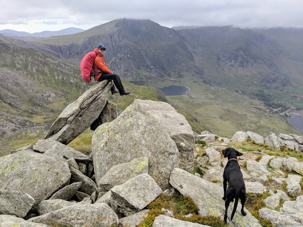
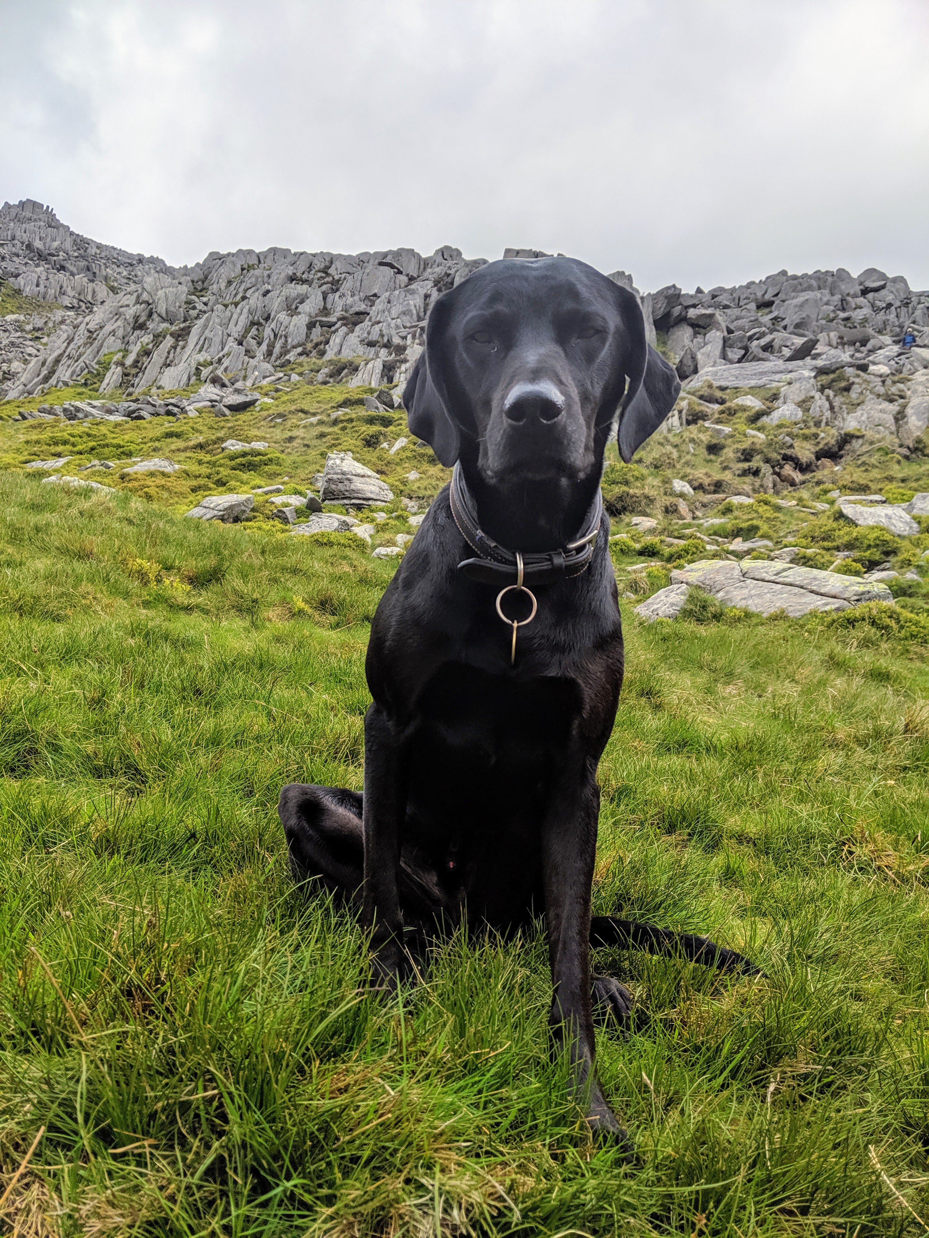
We took a different path down, leading off to the West side. The descent is heavy on the knees but you soon get onto a path that is easier to descend on…which was convenient as the rain that had threatened us all day, finally arrived at this point! If you have your four legged friend with you, the ascent and descent is do-able but you might need to give them a little hand at the higher points. Neville (the dog) didn’t enjoy the rock climbing part of the descent very much, but maybe he just needs more mountain goat practice.
Finding a nice spot, sheltered from the wind, we managed to find a perfect spot to pitch the tent. In a race against the rain and the quickly reducing day-light we threw the tent up and tried to get dry and stay warm.

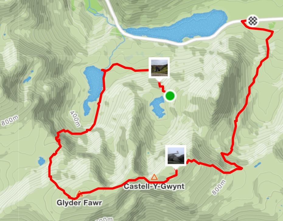
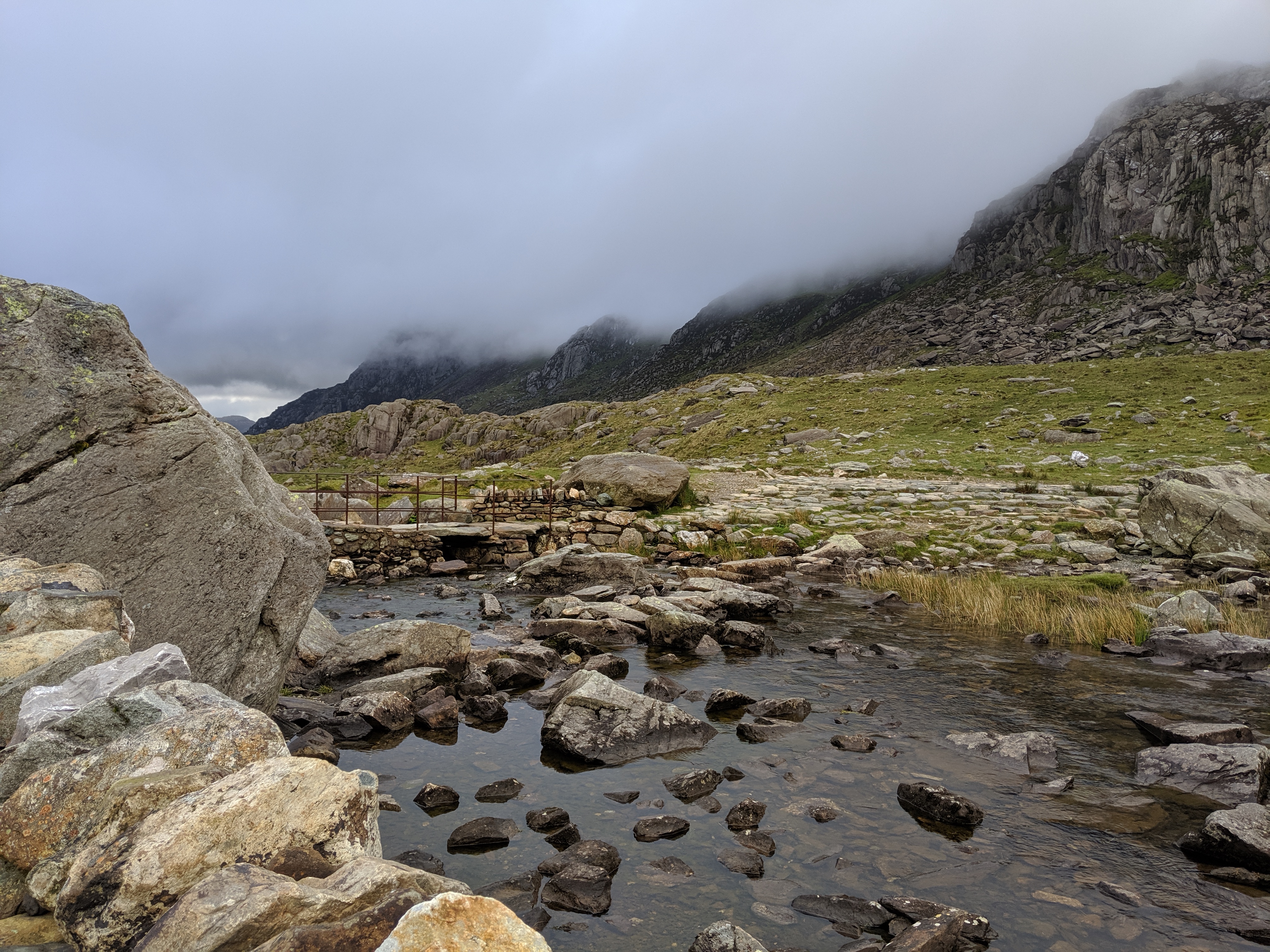
In the morning we got up and descended to Llyn Idwal, where we enjoyed a “delightful” bowl of packet porridge for breakfast while looking up towards this morning’s mission – Glyder Fawr.
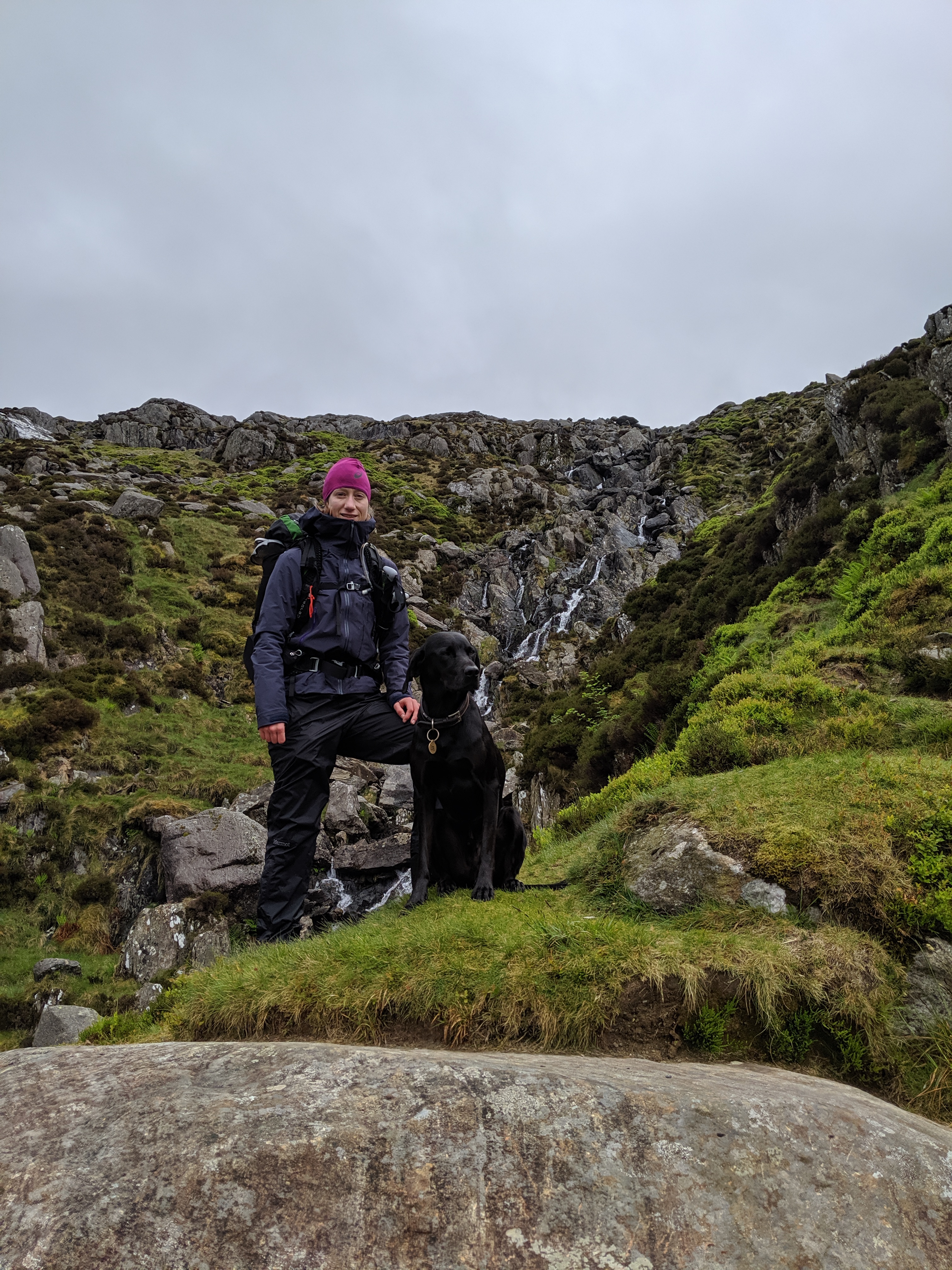
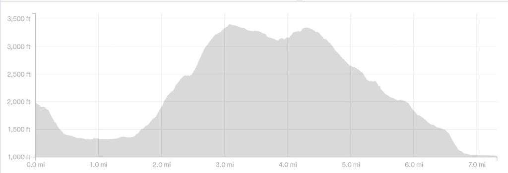
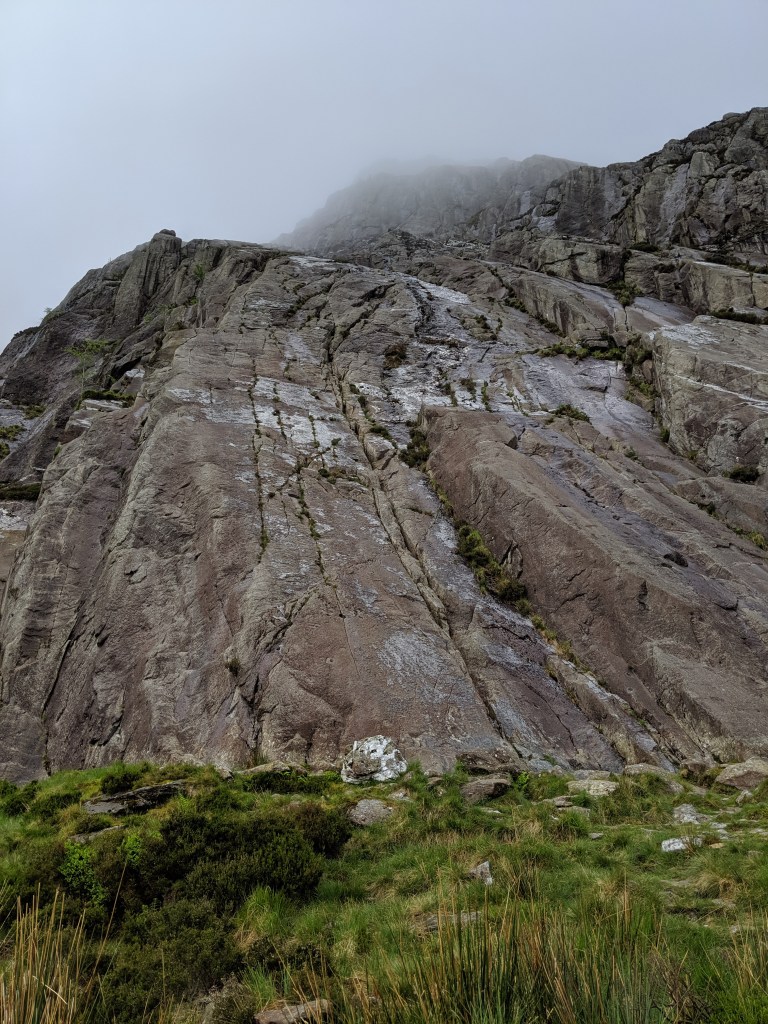
We had decided to approach this mountain via the Devil’s Kitchen, which a friend had recommended to us. From Llyn Idwal you start with a nice leisurely ascent, which soon progresses to a very steep climb and scramble between the crags. Having our camping equipment with us made this even more of an enjoyable challenge, not that my husband thought as much at the time! There are plenty of spectacular views as you ascend which gives you plenty of time to catch your breath.
The next 300m of ascending Glyder Fawr involve clambering up a steep scree slope! At this point we were unfortunately in thick fog so we just had to keep following our nose (and compass)! The final 100m or so of the ascent is on slightly firmer rocks and makes for a gleeful celebration at 1001m in the sky.
Once on the plateau, being in thick fog, we just had to take a bearing and make our way towards Bwlch y Ddwy Glyder.
After falling off of the main path once or twice, and spending plenty of time boulder hopping, we managed to get back on the main path and followed some cairns on towards Glyder Fach.
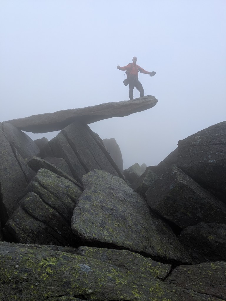
Even through the thick fog we were fortunate enough to spot the iconic vertical frost-shattered spires of Castell y Gwynt and the Cantilever stone, of which we of course took the opportunity to take a quick snap.
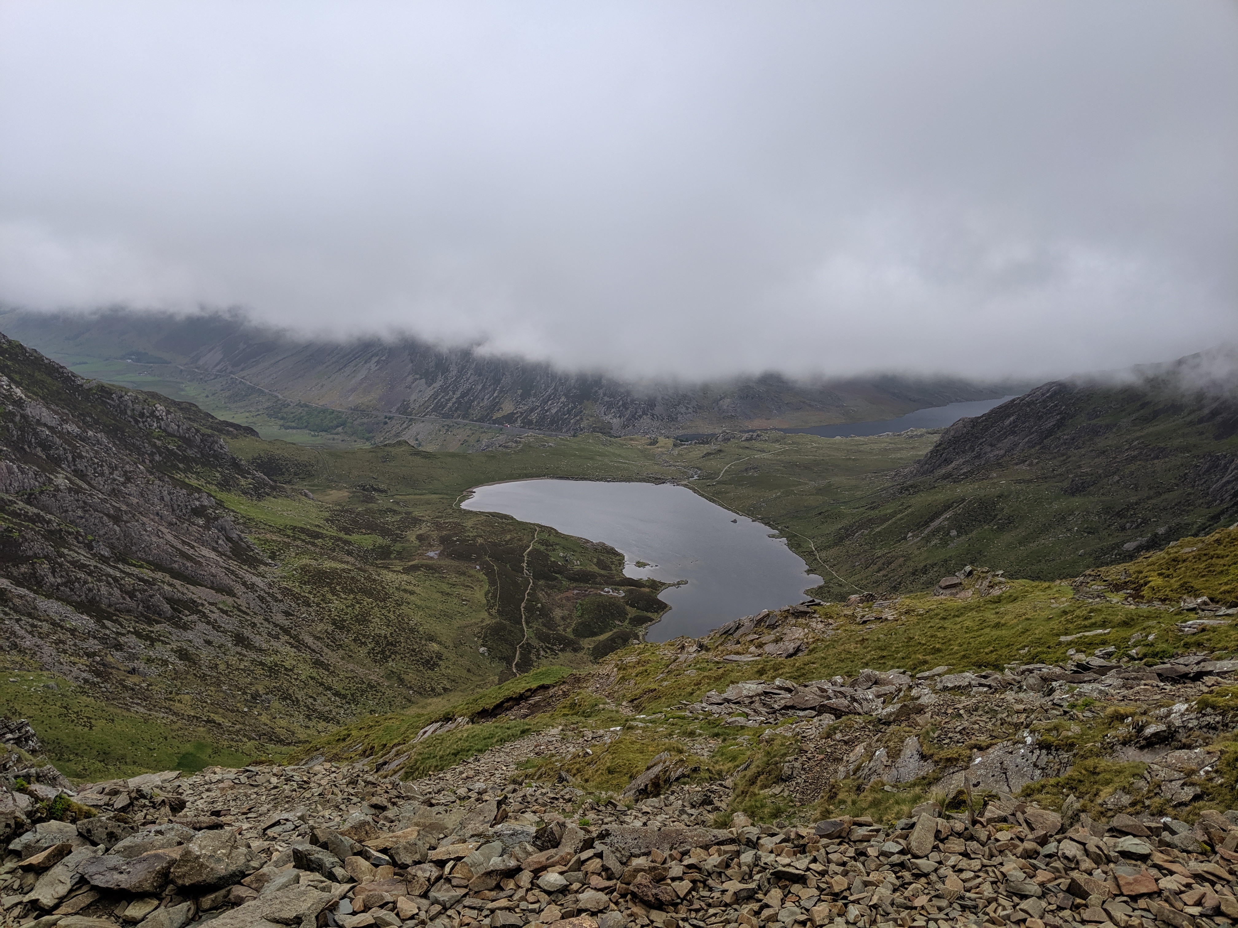
We descended via the Miner’s Track, which curves around the top of Cwm Tryfan. The path is reasonably clear all the way down, although there are some slightly loose and difficult sections along the way. The path becomes easier as you descend in to the valley, with Tryfan on your left.